Trikaan
  • Anvaya

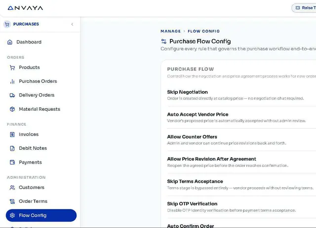
    AnvayaConnected business operations - supply chain, sales, finance, HR and more on one platform.

    Anvaya apps

    Overview →

    Supply Chain & Operations

    Procure MarketplaceProcureInventoryWarehouseProductionQualityLogistics

    Commercial Operations

    Sales E-comSalesTicketing

    Financial Management

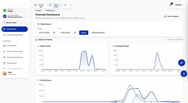
    LedgerGSTDocuments

    Workforce Management

    HRContractorsAudit LogsEmployee Portal

    Customer Engagement

    Customer SupportConnectAnnouncements

    Business Administration

    Users & RolesWeighbridgeManage VisitorQR Scan

    Intelligence & Platform

    DashboardAstra AI

    ASTR AI Suite

    ASTR ProductionProduction intelligence - recipes, smart BOM, costing, planning and quality.Astr AIThe AI layer across every Trikaan product - ask, analyse and automate in plain language.ASTR Drawing & Plan GeneratorTurn customer drawings into BOM, BOQ, cutting lists and production plans.ASTR Reporting AssistantAsk in plain language - get reports in Excel, PDF, CSV or PPT.Machine Digital TwinLive machine models connected to PLC & SCADA data for OEE and maintenance.

    Agriculture

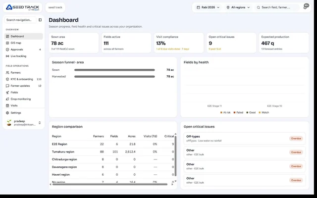
    Seed TrackField intelligence for seed production - growers, fields, visits, QA and yield.
    Not sure which product fits your business?Book a Demo →
  • Industries

    FurnitureFrom concept to engineering, powered by AI.FMCGFrom product planning to market execution.PharmaceuticalFrom formulation to compliance.AutomotiveFrom component design to vehicle manufacturing.Food & BeverageFrom ingredients to finished products.ConstructionFrom project planning to execution.ChemicalFrom chemical formulation to process optimisation.Agri & SeedFrom grower’s field to sealed seed bag.
    Industry-specific solutions. Powered by ASTR.All industries →
  • Build & Integrate

    Software built around your process

    Workflow Digitisation & OptimisationCustom Application DevelopmentERP & Systems IntegrationMobile & Field ApplicationsData Migration & Legacy Modernisation

    Engineering & Automation

    From drawings to the shop floor

    Drawing-to-Production EngineeringPLC, SCADA & Hardware IntegrationDigital Twin & 3D Plant ModellingPredictive Maintenance & OEEAI Reporting & Analytics

    Operations

    Run the business on connected data

    Procurement & Supply ChainInventory & Warehouse SolutionsProduction Planning & SchedulingQuality & Compliance SystemsCosting & Margin Intelligence

    Industry Services

    Industry-focused services

    Manufacturing SolutionsAgri & Seed SolutionsConstruction & Interior SolutionsImplementation, Training & Support
    Beyond software - we engineer around your business.All services →
  • Engineering

    How We WorkEngineeringData SecurityData PrivacyCloud & Hosting

    Your vision. Our engineering.

    Explore our engineering capabilities →
  • Resources

    Blogs

    Field notes from people who spend their days in plants.

    Read the latest insights →
  • Pricing
  • FAQ
Book a Demo
  • Home
Trikaan

Your Business. Connected Through Intelligence.

Products

  • Anvaya
  • ASTR Production
  • Astr AI
  • ASTR Drawing & Plan Generator
  • ASTR Reporting Assistant
  • Machine Digital Twin
  • Seed Track

Industries

  • Furniture
  • FMCG
  • Pharmaceutical
  • Automotive
  • Food & Beverage
  • Construction
  • Chemical
  • Agri & Seed

Services

  • All services
  • Workflow Digitisation & Optimisation
  • Custom Application Development
  • ERP & Systems Integration
  • Mobile & Field Applications
  • Data Migration & Legacy Modernisation
  • Drawing-to-Production Engineering
  • PLC, SCADA & Hardware Integration
  • Digital Twin & 3D Plant Modelling
  • Predictive Maintenance & OEE
  • AI Reporting & Analytics
  • Procurement & Supply Chain
  • Inventory & Warehouse Solutions
  • Production Planning & Scheduling
  • Quality & Compliance Systems
  • Costing & Margin Intelligence
  • Manufacturing Solutions
  • Agri & Seed Solutions
  • Construction & Interior Solutions
  • Implementation, Training & Support

Engineering

  • How We Work
  • Engineering
  • Data Security
  • Data Privacy
  • Cloud & Hosting
  • Network Security & VPN

Company

  • Who we are
  • Pricing
  • FAQ
  • Careers
  • Blog
  • Contact

Apps

  • Procure Marketplace
  • Procure
  • Inventory
  • Warehouse
  • Production
  • Quality
  • Logistics
  • Sales E-com
  • Sales
  • Ticketing
  • Ledger
  • GST
  • Documents
  • HR
  • Contractors
  • Audit Logs
  • Employee Portal
  • Customer Support
  • Connect
  • Announcements
  • Users & Roles
  • Weighbridge
  • Manage Visitor
  • QR Scan
  • Dashboard
  • Astra AI

© 2026 Trikaan Solutions Pvt. Ltd. All rights reserved.

Privacy PolicyTerms of ServiceCookie Policy
Insights › Architecture & tech

Architecture & tech

Mapping Farm Boundaries: Walk, Draw or Hybrid?

Each mapping method has strengths and failure modes. How to get areas you can trust.

Trikaan Research & Engineering·10 Nov 2026·4 min read
Mapping Farm Boundaries: Walk, Draw or Hybrid?

KEY TAKEAWAYS

  • No single mapping method suits every field.
  • Walking is accurate where boundaries are accessible and GPS is clear.
  • Drawing on imagery is fast but depends on image quality and date.
  • Record the method used with every boundary.

Field area drives seed allocation, input quantities, yield estimates and grower payments. Measuring it reliably at scale is harder than it sounds.

This article compares the three practical approaches.

Walk

The officer walks the boundary while the phone records GPS points. It works well for accessible boundaries in open sky. Accuracy suffers under tree cover or near buildings, and it takes time on large fields.

Draw

The officer traces the boundary on satellite imagery. It is fast and works for inaccessible edges, but imagery may be outdated or low-resolution, and boundaries between similar fields can be hard to see.

Hybrid

Walk the accessible sides and draw the rest, or walk and then correct drift by snapping to visible features. This often gives the best balance of speed and accuracy.

Comparison

MethodSpeedAccuracy risksBest for
WalkSlowerGPS drift, tree coverSmall to medium accessible fields
DrawFastOld or unclear imageryLarge or inaccessible fields
HybridMediumNeeds good editing toolsMixed terrain

Quality checks

  • Flag polygons that cross themselves or overlap neighbours.
  • Compare mapped area with declared area; review large differences.
  • Store GPS accuracy at capture.
  • Record method, officer and date.
In practice: An area without its method and accuracy is a number nobody can defend in a payment dispute.

Frequently asked questions

How accurate is phone GPS for field mapping?

Typically a few metres in open sky; worse under cover. Walking slowly and averaging helps.

Can mapping work offline?

Yes, with pre-downloaded map tiles and on-device area calculation.

Which method is best?

It depends on field size, access and imagery; hybrid is often the most practical.

How is area calculated?

From the polygon coordinates, using geodesic area calculation.

  • #GPS field mapping app
  • #farm boundary mapping
  • #field area measurement app
  • #polygon mapping agriculture
  • #land area calculation GPS

Trikaan Research & Engineering

Trikaan

Written by the researchers and engineers who build Anvaya, ASTR and Seed Track, with input from Trikaan's delivery and engineering teams.
ON THIS PAGE

  • Walk
  • Draw
  • Hybrid
  • Comparison
  • Quality checks
  • FAQ

Map fields three ways

Walk, draw and hybrid mapping in the Seed Track app.

Explore Seed Track

Keep reading

All insights →

Architecture & tech · 4 min

A Reference Architecture for Manufacturing Intelligence

Architecture & tech · 4 min

ERP, MES and AI: Who Owns Which Data?

Architecture & tech · 4 min

Connecting PLCs to the Cloud Without Opening Your Plant Network

procurement
ASTR AI
quality
engineer
Seed Track
Anvaya
operator
finance
planner

Your Vision. Our Engineering.

Book a Demo

Powered by AI. Engineered by Trikaan.